Water/Wastewater
Build an Intelligent Network That Delivers Fast, Efficient Workflows
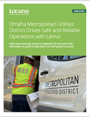
Read about Omaha Metropolitan Utilities District's (OMUD) experience

Modern GIS helps Water/Wastewater Utilities Transform their Business
For water/wastewater utilities, managing aging, complex infrastructure, combined with increased regulatory requirements, has increased the need for network modernization. With an intelligent network, including a model-based digital twin, you can streamline processes, lower costs, and improve service delivery to your customers. In addition, building, maintaining, and replacing network assets becomes optimized using digital tools and data-driven processes.
And for many, an enterprise geographic information system (GIS) is the key. More utilities than ever today rely on modern geospatial software, including Esri ArcGIS and the ArcGIS Utility Network, to provide a platform for building an intelligent network.
Using real-time maps, powerful location analytics, and high-powered visualizations, they can leverage digital twins for better network management. In addition, they can spatially enable enterprise systems such as ERP, work order management, ADMS, and CRM, to improve field services, service delivery, customer care, and more.
Value to water/wastewater utilities include:
- Replace manual processes that result in data errors
- Increase data accuracy, timeliness, and completeness
- Provide real-time monitoring and reporting
- Accelerate risk assessment and predictive maintenance
- Improve communication, collaboration, and decision-making

